Independent civil engineering support

Reviewable earthwork quantities.

Senior-led takeoff, cut and fill calculations, cross-sections and CAD records for contractors and infrastructure teams.

Sample deliverable / A-01Redacted example
858.32

Illustrative measured quantity

Basis
Drawing + levels
Output
CAD / XLSX / PDF
30+ yearsEngineering surveying
CAD + reportReviewable outputs
EN / ZHInquiry coordination

Earthwork takeoff. Three usable outputs.

Scope, measurement basis and deliverables are agreed before work begins, so the final quantities remain traceable.

Service / 01

Earthwork takeoff

A direct technical service for estimating, tendering and construction planning.

  • Itemized quantity schedule in XLSX or agreed tabular format
  • Marked PDF or CAD drawing showing measured limits
  • Calculation sheets with units, assumptions and revision notes
Explore the service

Service / 02

Cut and fill

Existing versus proposed surfaces, volume reconciliation and clearly stated calculation assumptions.

  • Cut, fill and net volume schedule by agreed zone
  • Colour or annotated cut/fill plan for spatial review
  • Sections, surface views or grid records appropriate to the method
Explore the service

Service / 03

CAD and reports

Marked drawings, calculation records and revision notes organized for review and reuse.

  • Marked PDF and agreed CAD source files
  • Quantity schedules and calculation records
  • Assumption, exclusion and revision register
Explore the service
Topographic drawings and drafting tools arranged on an engineering desk

Sample deliverable

The workings travel with the quantity.

Client, location, drawing numbers, coordinates and title-block information are removed. The structure is shown to explain the deliverable, not to identify a project.

Scope and measured elementsThe opening page identifies the measurement boundary, included elements, drawing revision, unit system and the quantity schedule issued for review.
Drawings, levels and calculation basisA controlled input list records which plan, section, level and surface information was used, plus any client-supplied measurement rules.
Geometry organized for checkingSelected model and marked-plan views show how calculation zones, excavation limits and structural elements relate to the source drawings.

Inspect the report structure

From drawings to an auditable package.

  1. Share the source files

    Send the plans, surfaces or survey information, drawing revision, work boundary and required output.

  2. Fix the measurement basis

    Confirm units, methods, exclusions and material rules before a quotation is issued.

  3. Calculate and cross-check

    Measure the agreed scope, reconcile totals and record each assumption against the source information.

  4. Receive reviewable files

    Use the schedules, marked drawings and calculation record for estimating, review or revision.

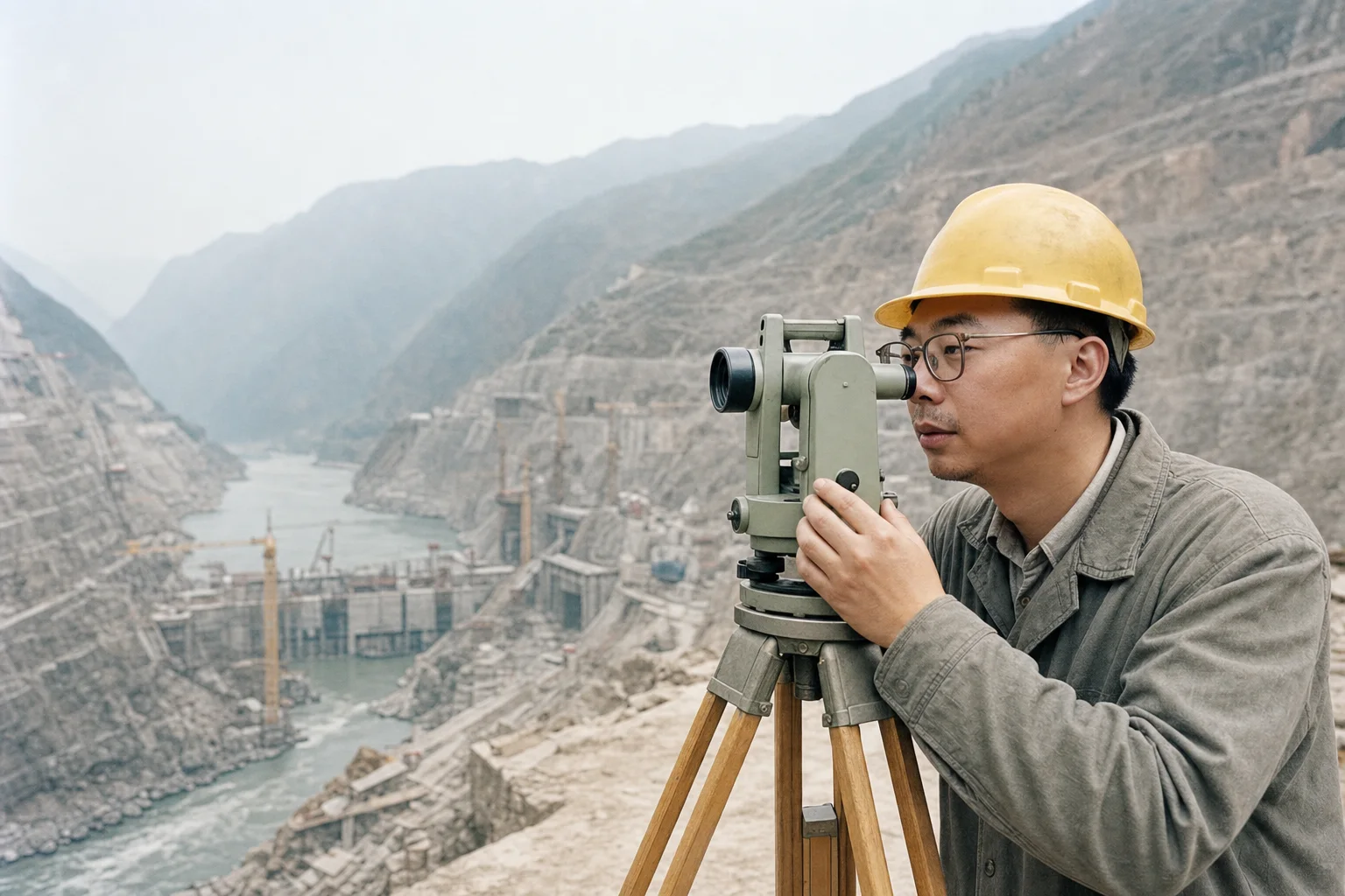
Visual reconstruction of Zhou Zhiyong using a survey instrument above major hydropower works

Visual reconstruction based on the verified Ertan engineering surveying record. Not an archival photograph.

Field judgement built across major infrastructure.

Surveying experience across hydropower, tunnelling, airport and earthwork assignments informs how drawings and quantities are checked.

View full experience

1991-1999

Ertan Hydropower Station

Engineering surveying

1999-2000

TBM tunnel project

Tunnel surveying work

2000-2003

Longtan Hydropower Project

Project surveying work

2003-2010

Xiluodu Hydropower Station

Project surveying work
Zhou Zhiyong reviewing topographic plans at an engineering desk

Senior civil engineer

Zhou Zhiyong

More than three decades of engineering surveying and civil works experience, now focused on reviewable earthwork calculations and CAD deliverables.

Major-project experience includes Ertan, Longtan and Xiluodu hydropower works, tunnelling and Luanda airport construction.

AutoCADSouth CASSFastTEICAD
Read the professional profile

Questions before sending files.

The first review establishes whether the available information is sufficient, what can be delivered and what remains outside scope.

What file formats can I send?

PDF and DWG are the usual starting points. Survey points, contours, LandXML or other surface data are useful when available. The scope review confirms what can be used before quotation.

Which method will be used for my project?

The method follows the geometry and available source data. Site platforms often suit grid or surface comparison, while road and river work commonly benefits from cross-sections.

Can the quantities be revised when drawings change?

Yes. Revisions are compared against an identified drawing issue so changed inputs, recalculated items and assumptions remain traceable.

Project scope review

Send the drawings. Get a defined scope.

Include the project location, drawing format, work boundary, required outputs and deadline. We aim to respond within two business days.

Send plans for a scope review